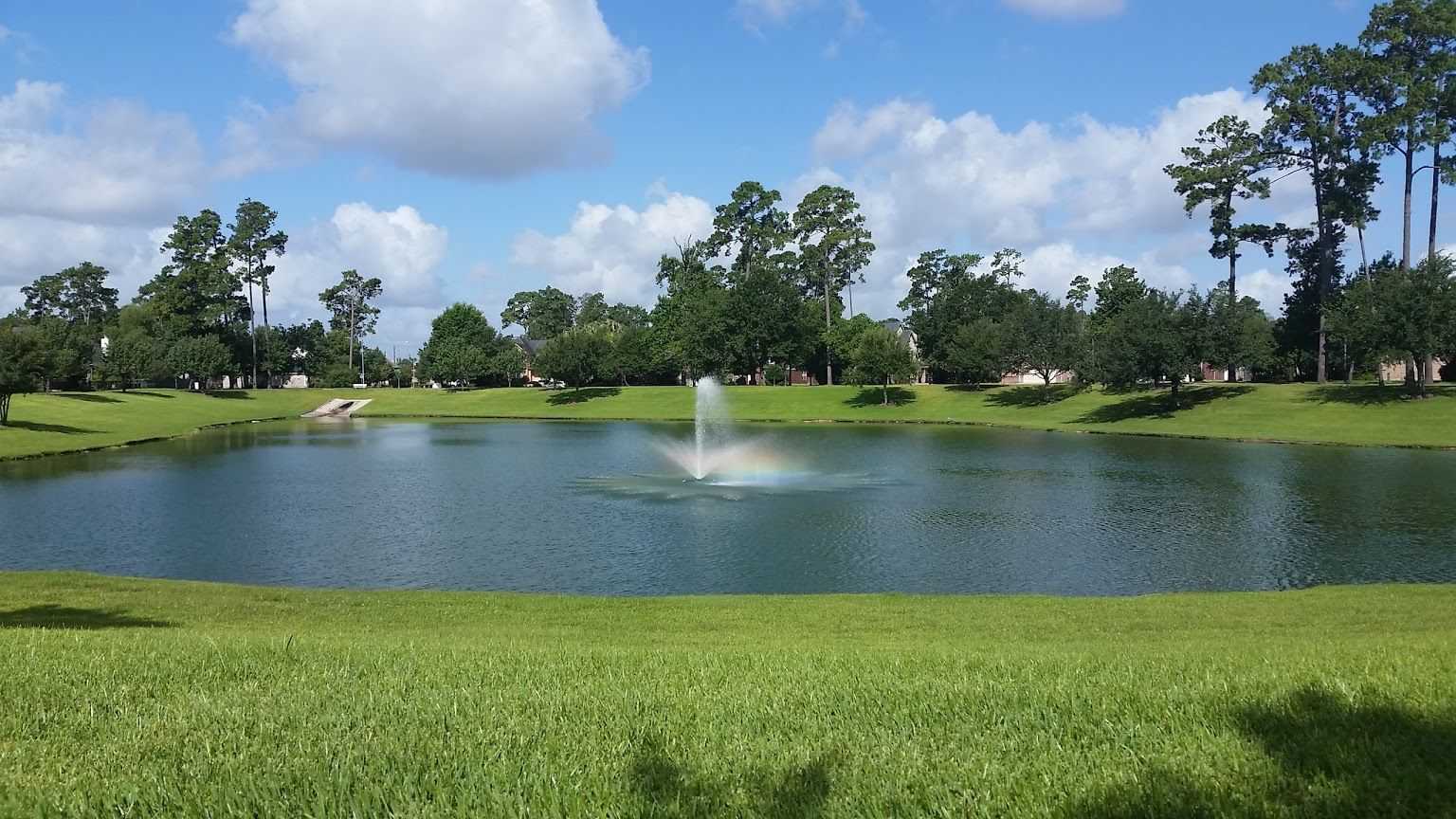
HCMUD 249 is located approximately 21 miles north of the central business district of Houston, approximately one fourth of a mile east of I-45. The majority of HCMUD 249 is bounded on the north by East Louetta Road, on the east by Hardy Road, and on the south by Cypresswood Road. HCMUD 249 presently contains approximately 478 acres of land, all of which is within the exclusive extraterritorial jurisdiction of the City of Houston.
To zoom in or out on the map, use the scroll button on your mouse or use the +/- buttons on the bottom left of the map. To switch the base map to satellite, click the menu button on the top left of the map, then click the map icon in the bottom left of the pop up menu.
